|
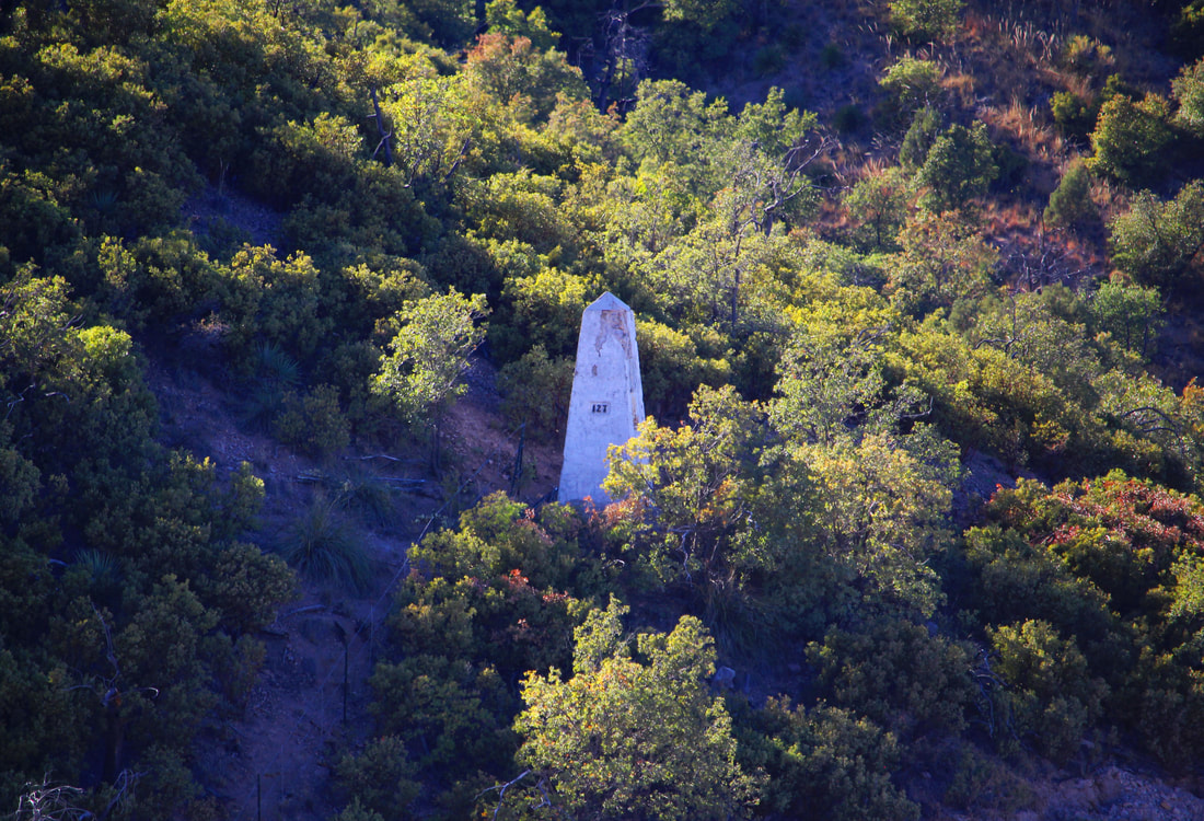
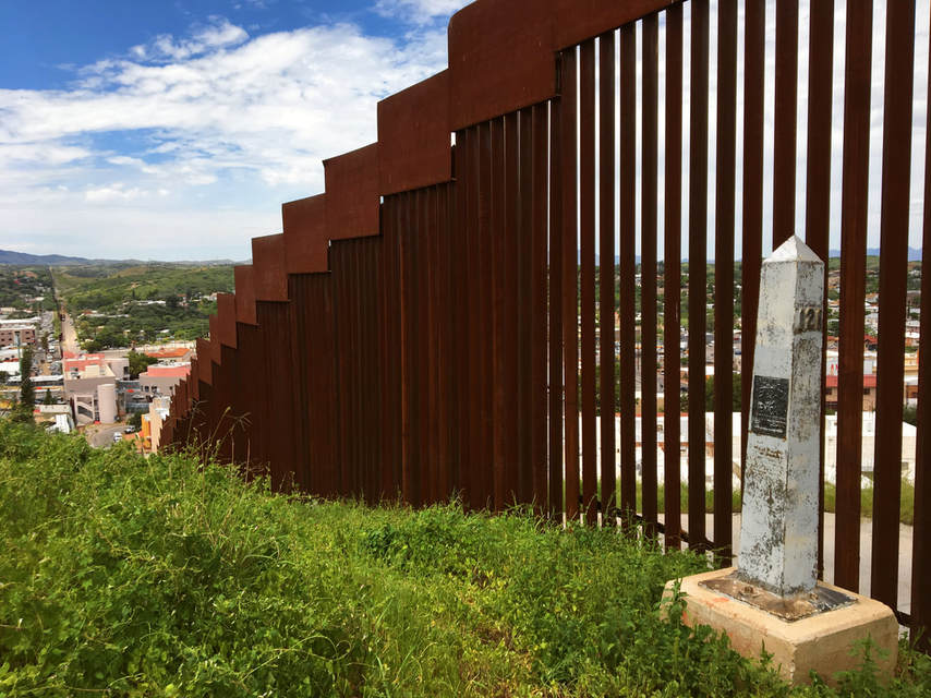
Nestled in the rough mountainous country west of the cities of Nogales, Arizona, and Nogales, Mexico, Boundary Monument 127 is a significant geographic turning point for the U.S.-Mexican border - and is located on the WRONG spot!
4 Comments
A version of this photo essay appeared as an article in the August 24, 2018, edition of the Nogales International; special thanks to editor Jonathan Clark for allowing me to contribute to the local paper's coverage of the battle's centennial A century ago on Aug. 27, 1918, Mexicans and Americans fought one another at the Battle of Ambos Nogales, leaving as many as 129 Mexicans and four Americans dead, and approximately 330 wounded. There was another toll as well: the previously open border between Nogales, Ariz. and Nogales, Sonora. As a result of the battle, the two Nogaleses became the first cities on the U.S.-Mexico border to be divided by permanent border fences. Previously when commemorating the 170th anniversary of the signing of the Treaty of Guadalupe Hidalgo we journeyed to the far western corner of the new border that the peace agreement between the U.S. and Mexico created. Surrounded by hills and beach-going crowds on the Mexican side, Boundary Monument 258 marks the U.S.-Mexico border between the corners of Tijuana and San Diego. At 258, it is the highest numbered boundary marker along the land portion of the U.S.-Mexico border which begins with Boundary Monument 1, located 700 miles to the east just outside of Ciudad Juárez-El Paso. Unlike the busy, tightly-controlled scene at Playas de Tijuana/Friendship Park, Boundary Monument 1 is in a hidden canyon along the Rio Grande and without major fence barriers. If, as some border artists have asserted, boundaries are scars on the Earth [1], this is where the wound across the desert begins.
|
Carlos Parra
U.S.-Mexican, Latino, and Border Historian Archives
January 2021
Categories
All
|


 RSS Feed