|
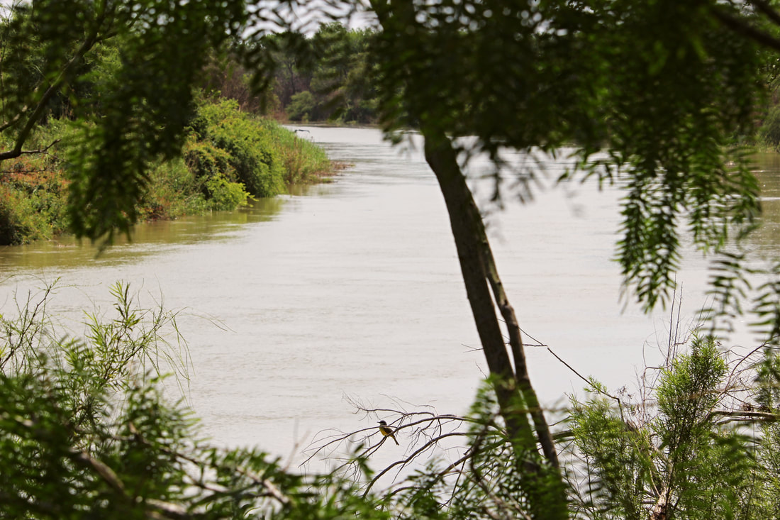
A small bird rests on a tree along a quiet stretch of the Río Grande in South Texas/Tamaulipas. The border river has a great emotional presence in both the U.S. and Mexican imagination, often leading to the belief that the entire river is a dangerous haven of crime. Although the Río Grande has its human-caused dangers, its cultural and natural history is much, much deeper than what is often presented in the news. Currently much of this quiet riverine forest is in danger of being destroyed by the U.S.’s border wall project. In a coming Nomadic Border photo essay, we will explore some of this rich history at the peaceful riverside Santa Ana National Wildlife Refuge in Texas.
1 Comment
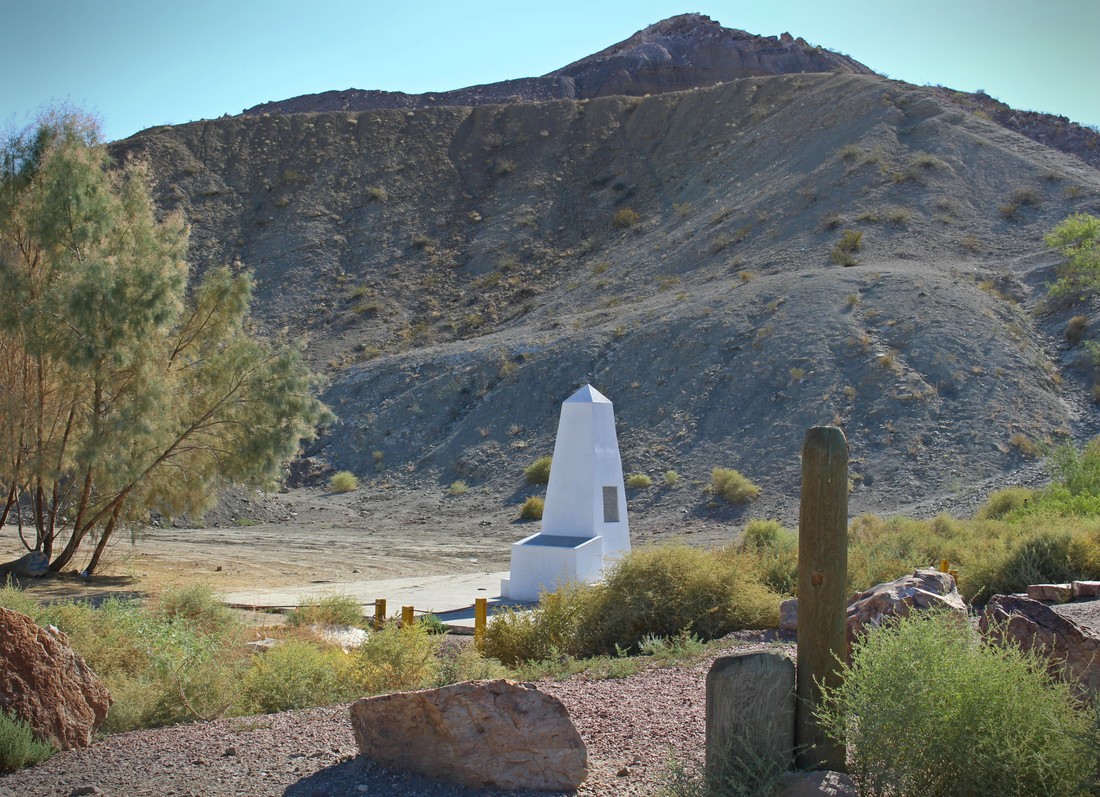
Previously when commemorating the 170th anniversary of the signing of the Treaty of Guadalupe Hidalgo we journeyed to the far western corner of the new border that the peace agreement between the U.S. and Mexico created. Surrounded by hills and beach-going crowds on the Mexican side, Boundary Monument 258 marks the U.S.-Mexico border between the corners of Tijuana and San Diego. At 258, it is the highest numbered boundary marker along the land portion of the U.S.-Mexico border which begins with Boundary Monument 1, located 700 miles to the east just outside of Ciudad Juárez-El Paso. Unlike the busy, tightly-controlled scene at Playas de Tijuana/Friendship Park, Boundary Monument 1 is in a hidden canyon along the Rio Grande and without major fence barriers. If, as some border artists have asserted, boundaries are scars on the Earth [1], this is where the wound across the desert begins.
|
Carlos Parra
U.S.-Mexican, Latino, and Border Historian Archives
January 2021
Categories
All
|


 RSS Feed