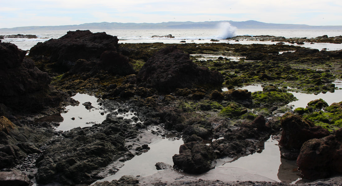
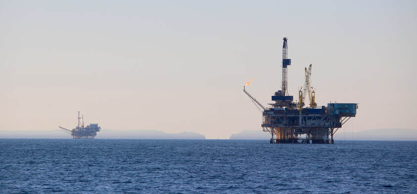
In 1848 the Treaty of Guadalupe Hidalgo ended the U.S.-Mexico War and redrew the border between the two countries, formalizing Mexico’s loss of California and most of western North America to the United States. Article V of the Treaty described the two countries’ boundary – the basis of the current-day U.S.-Mexican border – following a course from the Gulf of Mexico along the Río Grande and westward across deserts towards “a point on the coast of the Pacific Ocean.” Completely overlooked in the Treaty’s definition of the U.S.-Mexican border on the Pacific coast was the status of the Channel Islands (or Archipelago of the North), an oil-rich island chain just beyond the Southern California coastline. If the border’s terminus is on a point on the Pacific coast, wouldn’t that mean the islands were not actually included in Mexico’s loss of California?
Are the oil-rich California Channel Islands rightfully Mexican national territory (according to Article V of the Treaty of Guadalupe Hidalgo) or are they in fact Mexico’s “lost archipelago”?
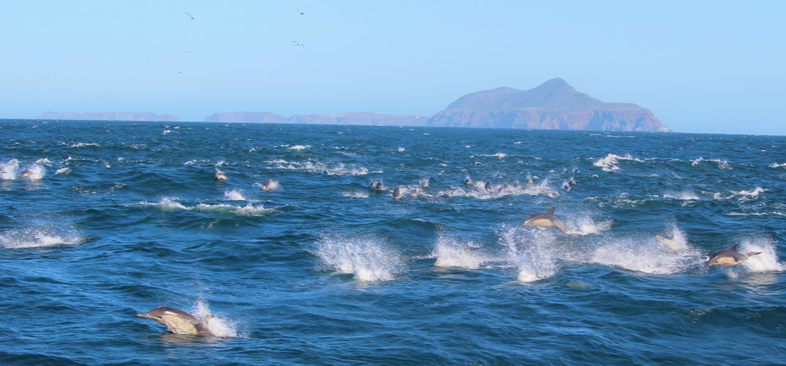
Chart the high seas history of the U.S.-Mexican border in this journey through the rich cultural and natural history of the California Channel Islands/Archipelago of the North – Mexico’s “lost archipelago."
Navigating through Mexico’s lost archipelago:


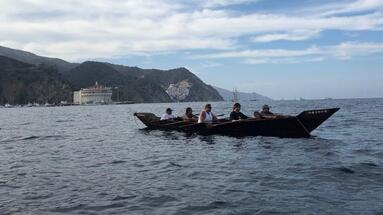
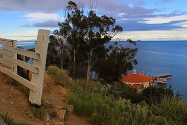
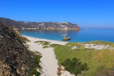
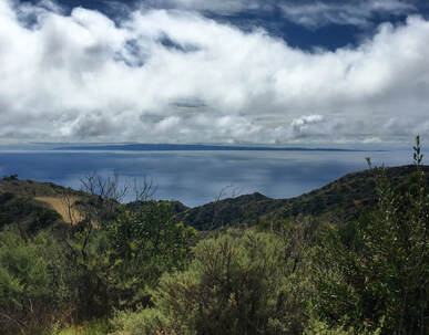
Photo by KCET
|

|
And more coming soon!
|